


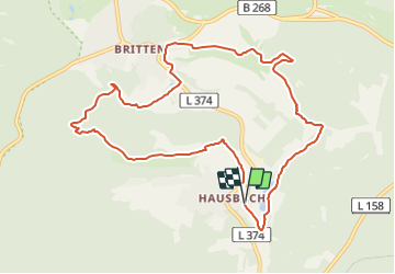

13,2 km | 18,4 km-effort

Tous les sentiers balisés d’Europe GUIDE+


Gratisgps-wandelapplicatie
 SityTrail
IGN / Geografische instituten
SityTrail World
De wereld gaat voor u open
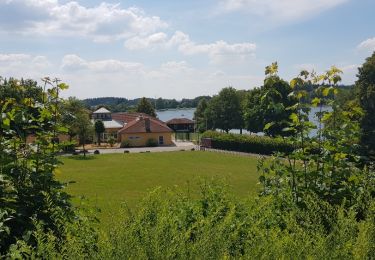
Tocht Te voet van 10 km beschikbaar op Saarland, Landkreis Merzig-Wadern, Losheim am See. Deze tocht wordt voorgesteld door SityTrail - itinéraires balisés pédestres.
Symbol: W vor grüner Wiese, gelb umrandet


Te voet
Te voet
Te voet
Te voet
Te voet
Te voet
Stappen

Te voet
Stappen